Vector map, no tiles
Fifty-one state outlines from the U.S. Census cartographic boundaries, projected with Albers USA at build time and inlined as SVG. Nothing is fetched from a map provider, and nothing tracks you.
Side project / Road log
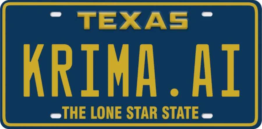
Our Sprinter van wears a krima.ai plate and gets around. Tap the state where you saw it, add a note or a photo if you like, and watch the map fill in.
How this was built
The same discipline we bring to client work, at toy scale.
Fifty-one state outlines from the U.S. Census cartographic boundaries, projected with Albers USA at build time and inlined as SVG. Nothing is fetched from a map provider, and nothing tracks you.
A Worker in front of the static site answers a small JSON API and emails the team about each new sighting. The same projection runs server-side to turn a click back into latitude and longitude and confirm which state it landed in.
Sightings live in Cloudflare D1, a SQLite database replicated to the edge, with migrations under version control and a moderation flag on every row. Photos are shrunk in the browser and kept in R2 object storage.
Input limits, a honeypot field, photo size and type checks, and a per-hour rate limit on a salted hash of the visitor’s IP. No accounts, and the page works with keyboard alone.
Every note is checked by Jev, TypeSafe AI’s decision model, against eight family-friendly rules in one call that returns in milliseconds. Jev gives a calibrated probability for each rule. Our code, not the model, decides what to refuse, what to hold for a person, and what to publish.
Get in touch
Internal tools, integrations, and AI capabilities, scoped and built by the people you talk to. Tell us about the problem and your timing.